This website uses cookies. By using this website you agree to our
terms
.
This website uses cookies,
learn more
OK
All Classifieds
All Classifieds
Antiques
Art
Baby
Books
Business & Industrial
Cameras & Photo
Clothing & Accessories
Collectibles
Computers & Office
Consumer Electronics
Dolls & Bears
DVDs & Movies
Everything Else
Food & Wine
Gifts & Occasions
Health & Beauty
Hobbies & Crafts
Home & Furniture
Home Appliances
Jewelry, Gems, Watches
Marine
Music & Instruments
Networking & Telecom
PDAs
Pet Supplies
Pottery & Glass
Services & Trades
Sporting Goods
Sports Memorabilia
Stamps
Tickets & Vouchers
Toys
Travel
TV
Video Games
Tools
All Cars & Parts
Cars
Motorcycles
Quad Bikes
Scooters
Vans & Trucks
Vehicle Parts
Other
All Property
Property For Sale
Long Lets
Short / Holiday Lets
All Jobs
Search By Username
title only
add listing
sign up
login
buy online
Browse all buy online
Consumer Electronics
Collectibles
Tools
Health & Beauty
Home Appliances
Clothing & Accessories
Jewelry, Gems, Watches
Gifts & Occasions
Music & Instruments
Everything Else
Home & Furniture
Marine
Computers & Office
Art
Vehicle Parts
Business & Industrial
Books
Antiques
Create a Buy Online eStore
directory
Browse our Business Directory
Add your Business
classifieds
Browse all classifieds
Antiques
Art
Baby
Books
Business & Industrial
Cameras & Photo
Clothing & Accessories
Collectibles
Computers & Office
Consumer Electronics
Dolls & Bears
DVDs & Movies
Everything Else
Food & Wine
Gifts & Occasions
Health & Beauty
Hobbies & Crafts
Home & Furniture
Home Appliances
Jewelry, Gems, Watches
Marine
Music & Instruments
Networking & Telecom
PDAs
Pet Supplies
Pottery & Glass
Services & Trades
Sporting Goods
Sports Memorabilia
Stamps
Tickets & Vouchers
Toys
Travel
TV
Video Games
Tools
cars & parts
Browse all cars & parts
Cars
Motorcycles
Quad Bikes
Scooters
Vans & Trucks
Vehicle Parts
Other
property
Browse all property
Property For Sale
Long Lets
Short / Holiday Lets
jobs
Browse all jobs
Restaurant & Food Service
Other
Hospitality & Hotel
Construction
Sales
Information Technology
Accounting
Admin & Clerical
Retail
popular
Browse all popular
Books
Cars
Consumer Electronics
Everything Else
Home & Furniture
Long Lets
Marine
Pet Supplies
Property For Sale
Vehicle Parts
add listing
Error
An error occurred with the previous operation:
Invalid Listing
Recently Viewed
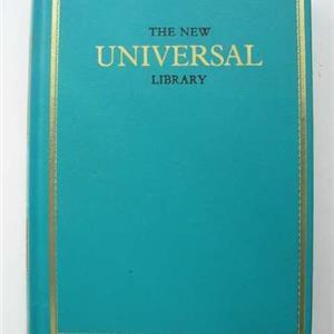
THE NEW,UNIVERSAL,LIBRARY,17 BOOKS VOLUME,BIBJA
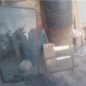
Windscreen ta l-Isuzu nkr
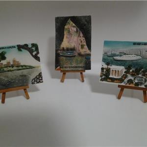
Beautiful Malta.set of 3 Mdina, Grand Harbour & Blue Grotto
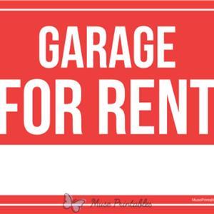
Street Level Garage For Rent Safi
Old Lamp
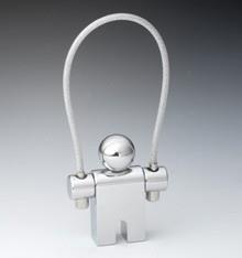
Jumper Keyring
IL-MENQA ST PAULS BAY MALTA ---- ORIGINAL HAND PAINTING OIL ON CANVAS 70X50
More...
Clear List
online stores
Set up a store and start getting paid online, today.
find out more
Login
Add Listing
My Listings
My Messages
My Details
My Account
My Store
NEW
Watched Listings
Help
FEEDBACK