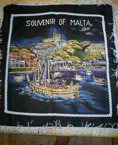
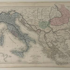
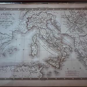
19th Century Map - MALTA/ITALY/BALKANS/GREECE/TURKEY
€ 100


Description
This is a large-scale 19th century map of southeastern Europe, focusing on:
- Malta
- The Italian peninsula
- The Balkans
- Greece
- The Ottoman-controlled territories (“Turquie”)
This map belongs to the post-Napoleonic, pre-national unification era, when:
- Italy was still divided into multiple states
= Greece had only recently gained independence (1830)
- Much of the Balkans remained under Ottoman control
Dimensions: 33 x 46.5 cm
Item Details
10001248
25
Antiques
31/12/2025